GPS vs. Galileo is a comparison between two accurate tracking systems. GPS was the navigation standard for a long time. However, tracking systems such as Galileo are coming up and enhancing accuracy.
Galileo is more accurate than GPS. Galileo uses only 30 satellites, two less than GPS.
However, GPS satellites are in six orbital planes. While GPS gives about 11.4 – 25.5 feet accuracy, Galileo provides a better 6.5 – 9.8 feet accuracy range.
Galileo and GPS work together to provide pinpoint location data. Combining both also gives better timing.
Let’s compare the two systems.
Is Galileo better than GPS?
As a GNSS(Global Navigation Satellite System), Galileo is better than GPS in some aspects, the most obvious being accuracy.
Galileo has positional accuracy of about 1 meter for civilian use and less than 1 meter for encrypted use.
As an independent GNSS, the positional accuracy reduces any margin of error when Galileo is used for critical operations such as military deployment or search and rescue.
Still, on accuracy, Galileo has much better practicality in real-life emergencies. Most urban centers globally have tall structures that affect accuracy. Galileo is more effective than GPS in areas with high-rise buildings.
Furthermore, navigators apply Galileo in mountainous regions where navigation might be challenging.
Galileo vs. GPS Facts
What is GPS?
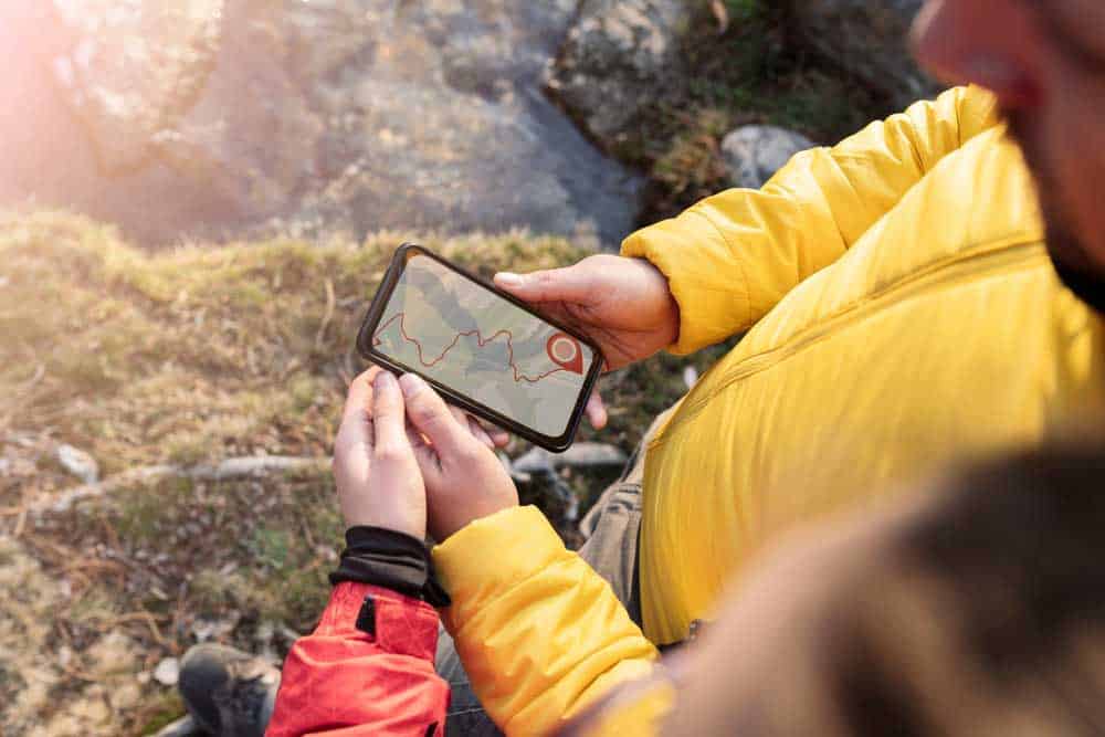
GPS application in a remote location
GPS(Global Positioning System) has been active since April 1995, although the U.S. Air Force launched the initial satellites in 1978.
The United States Air Force originally developed it for weapon accuracy. However, they opened it up to civilian use for navigation and maintained higher-level control of the sensitive bits.
GPS has three segments.
- Space: This segment covers the satellites.
- Ground control: This level is the command and control center.
- User: This level covers you(the end user and everyday applications)
The Space segment has 32 satellites. Although some might be old and up for replacement, they lie about 12,550 miles in Middle Earth orbit.
The 32 satellites are spread out across six orbital planes to provide accurate data at all times. Each plane has at least four satellites at all times.
Also, every GPS satellite does an around-the-earth trip once every 11 hours and 58 minutes at a 55° incline.
GPS uses L1(1575.42 MHz) and L5(1176.45 MHz) frequency bands for civilian signals.
But as we’ve mentioned, some satellites are outdated and are due for an upgrade. That is where GPS III comes in.
SpaceX, the company behind Starlink, is one of the companies behind launching newer generation satellites into space for GPS.
The process started in 2018 and continues until the end of 2023. The GPS III launch will open new frequencies (L2, 1227.60 MHz) and L1C for civilian use.
The L2 frequency is much faster and more accurate than L1. It enhances accuracy in obstruction-heavy areas.
Other satellites include L5 and M-Code. The L5 will remove the need for codeless and semi-codeless GPS receivers.
Removing these receivers is necessary since they use military signals for full operation. Currently, the L5 frequency will remain for emergency safety of life applications.
However, the L5 frequency has yet to get approval for civilian use.
What is Galileo Navigation?
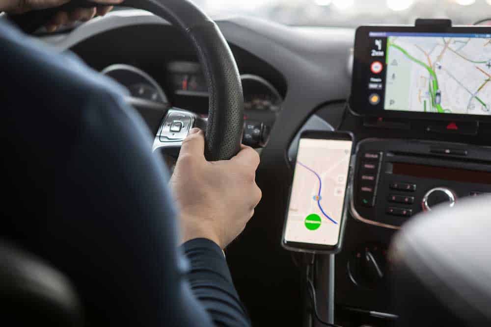
Galileo systems are used in smart cars
Galileo Satellite Navigation has been active since 2019.
The European Union came up with the system to avoid the inconvenience of relying on other nations’ satellites.
The European GNSS Agency has full operational authority over the system.
Like GPS, it also has three segments: space, ground, and user.
However, it has 30 satellites across three orbital planes. Each plane has eight active satellites at all times, with two backup satellites.
Galileo satellites lie 14,429 miles above Earth, orbiting once every 14 hours and 7 minutes at a 56° incline.
Also, unlike GPS, it transmits E1 and E5a (1575.42 MHz and 1176.45 MHz) frequencies for civilian use.
It recently launched the E6-B signal to provide free High Accuracy Service for civilian use.
How Is GPS Better Than Galileo?
GPS has a satellite constellation of more satellites that provide worldwide coverage. Conversely, Galileo’s coverage is more regional.
GPS has been in existence longer than Galileo. Therefore, more devices use GPS than Galileo for positional accuracy.
You can see GPS’s influence on smartwatches, phones, vehicle tracking systems, and other wearable devices.
Additionally, GPS gives updated times and dates to provide instant tracking and navigation.
GPS vs. Galileo Services
GPS provides essential position, navigation, and timing(PNT) in two accuracy tiers: standard positioning service(SPS) and Precise Positioning Service.
SPS is an unencrypted free-to-the-public service transmitted on L1 frequency, while PPS is an encrypted service only fully available to the U.S.
The main difference between SPS and PPS is that the U.S. can deteriorate SPS accuracy to reduce the likelihood of malicious service misuse against U.S. forces.
Still, SPS is accurate for the public within 10-20 meters.
On the other hand, Galileo offers five services.
Open Service(OS)
Open service is an open-to-the-public service with 99.8% availability.
It is transmitted on two frequencies with ionospheric effects correction. Consequently, it has better accuracy than GPS’s SPS.
Commercial Service(CS)
CS has an Open Service and an encrypted signals service. It uses encrypted signals to carry sensitive data.
The upside of CS is it will provide high accuracy for high-performance operations such as data rate-hungry broadcasts, bridging numerical differences in some applications, and wireless application integration.
The encrypted services are open to a paid subscription model.
Third-party users can also apply to use Galileo’s encrypted CS under an agreement that offers users guarantees subject to prior notification to users. Uninformed degradation of services entitles the affected parties to compensation.
Safety-Of-Life Service(SoL)
SoL is a service targeting transport providers that need precise signals, such as air, rail, and maritime travel companies.
Under SoL, users get specialized equipment that receives signals. Subscribers get reports about stressful conditions affecting precision or travel within 10 seconds.
Still, the European Union will maintain control over data encryption for sensitive data and over changes to subscription costs.
Public Regulated Service (PRS)
PRS is a high-level signal service designed to stay available during conflict and crisis. It operates on two wideband frequencies, independent of other Galileo signals, to avoid signal interference and jamming.
PRS is open to government and civilian use but without total military control. Still, the E.U maintains control over the service using cryptological keying systems.
Search and Rescue Support Service (SAR)
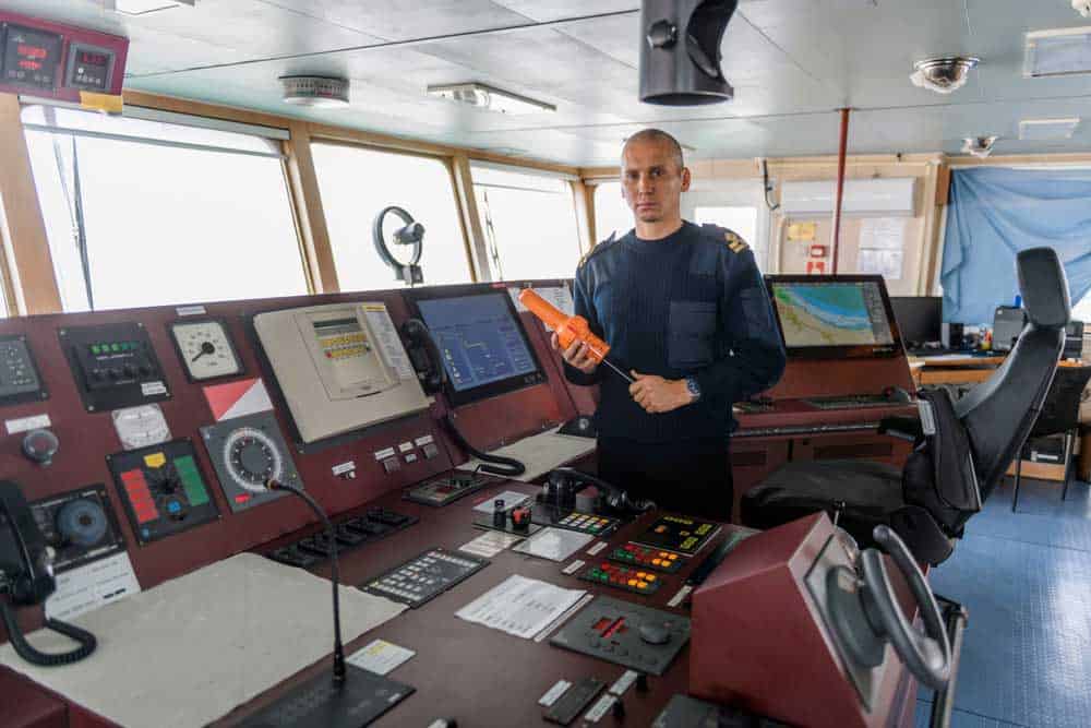
Search and Rescue Maritime Operation
The SAR service collaborates with GPS and Galileo to provide PNT services. However, there is a subscription-based tier where some users get top-level clearance for prime features such as time-based accuracy services and compensation-based service guarantees.
Galileo uses SAR transponders to pick up distress signals and sends them to Cospas-Sarsat ground stations.
The service also sends a notification to the stranded parties to inform them they’ve been found.
Can You Use More Than One GNSS?
Not only can you use more than one GNSS, but navigation systems also work with each other to give pinpoint accuracy.
A multi-GNSS receiver takes signals from multiple systems and gives position data, time, and velocity in real-time.
Did you know you can check whether your smartphone receives signals from multiple satellites?
The GPSTest app collects satellite data and compiles it for you. However, your smartphone must have the MultiGNSS chips to receive these signals and subsequently check the satellites.
Conclusion
GPS is an early entrant system that is commonly used in many devices. While it is accurate, it works even better when paired with another system like the E.U.-controlled Galileo.
Each system uses its satellite constellation to enhance accuracy for more visibility.
Combining Galileo and GPS is vital in improving precision services for air and maritime travel, emergency operations, and crisis management.