The following guide will investigate the difference between GNSS and GPS. At the start of 2023, at least 7,702 active satellites were orbiting the Earth.
With SpaceX constantly growing the volume of its Starlink satellite constellation, we expect this figure to increase drastically over the next five years.
However, not all satellites orbiting the Earth are reserved for internet connectivity and television broadcasting.
One of the most common use cases for satellites is global positioning and navigation.
We use Global Navigation Satellite Systems (GNSS) and Global Positioning Systems (GPS) for these applications.
But what’s the difference between the two, and is one better than the other?
What is GPS?
GPS is a radio satellite navigation system operated and owned by the US government.
We use it for navigation on air, sea and land. The US Department of Defense (DoD) established the GPS project in 1973.
However, despite launching its first model in 1978, GPS was not fully operational until 1993. Back then, the GPS satellite constellation consisted of 24 units.
Today, there are 38 satellites in the GPS medium Earth orbit (MEO) constellation.
Albeit, only 32 of these satellites are fully operational. While the satellite constellation is a major part of the GPS, it isn’t the only part. The main parts of the GPS include:
- Satellite Constellation: Refers to all the satellites orbiting the Earth.
- Ground Stations: Consists of various buildings with monitoring tools and control tools. They are there to track the activity of the satellites and ensure that they are fully operational. Ground stations are strewn across the globe.
- Receivers: User equipment that captures signals from the satellites. They come in all shapes and sizes. Small receivers are embedded in most modern smartphones. Hence, GPS is typically more well-known than GNSS, although both systems are somewhat connected.
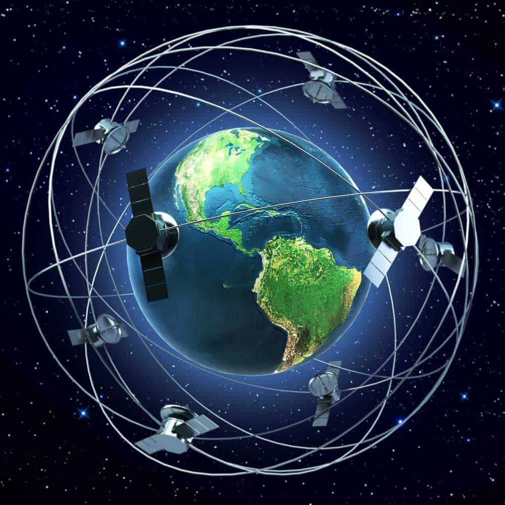
Satellites orbiting the Earth
How Does GPS Work
Satellites in a GPS orbit the Earth roughly every 11 hours, 58 minutes and 2 seconds.
Each satellite transmits coded signals containing the satellite’s precise orbit details and a stable timestamp from its atomic clock.
While GPS satellites may vary in age and design, their main functionality remains unchanged.
The satellites transmit dual L-Band carrier waves. We refer to these waves as L1 and L2.
GPS satellites transmit these waves to the surface of the Earth. We can then use receivers to capture these waves and translate their data.
Receivers usually have two main parts – an antenna and a processing unit.
The antenna captures satellite signals while the processing unit interprets the data from the signals.
One of the main functions of these receivers is to help us determine your current position.
The receiver uses their position in relation to at least three satellites. We refer to this as trilateration.
Once the receiver obtains the precise position, it translates it into Earth-based coordinates, mainly latitude, longitude and altitude.
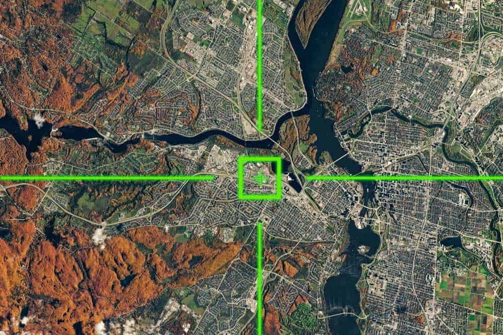
GPS Geolocation
What is GNSS?
Ultimately, both satellite systems have the same purpose, and they function nearly identically. GPS shares a connection to GNSS.
GPS is a North American tracking and navigation system, while the GNSS is a multinational collection of MEO satellite constellations.
And GPS, along with the Russian Federation Global Navigation Satellite System (GLONASS), is a part of GNSS.
Soon, other developing navigation satellite constellations will be part of GNSS, too.
These constellations include the European Satellite Navigation System (GALILEO), India’s Regional Navigation Satellite System (IRNSS), China’s COMPASS/Bei-Dou and Japan’s Quasi-Zenith Satellite System (QZSS).
Ultimately, when people refer to GNSS, they refer to nearly all navigation/positioning satellites. Whereas GPS only refers to a single aspect of the GNSS.
In addition to the various satellite systems, GNSS features a satellite-based augmentation system, SBAS, that connects the various satellite systems and enhances their capabilities. These augmentation systems include:
- The Wide-area Augmentation System (WAAS)
- The European Geostationary Navigation Overlay Service (EGNOS)
- The Russian System of Differential Correction and Monitoring (SDCM)
- The Indian GPS Aided Geo Augmented Navigation (GAGAN)
- Japanese Multifunctional Transport Satellite (MTSAT) Satellite-based Augmentation Systems MSAS
GEODetic GNSS Satellite
Is GNSS Better than GPS?
The GNSS gives users access to over 100 satellites, including those in North America GPS. By all accounts, this makes GNSS far superior to GPS.
Applications of GNSS and GPS
GPS and GNSS serve the same purpose, which is divided into three categories (PNT)
- Positioning: Tracking and identifying a location on the Earth
- Navigation: Guidance between different locations on the Earth
- Timing: Delivering precise time measurements
One of the first industries to fully embrace GPS and GNSS technology was the mapping and surveying industries. Other industries that now use it include:
- Transportation, including maritime, rail, aviation, road and mass transit (Logistics)
- Telecommunications
- Law enforcement and emergency services
- Agriculture
- Meteorology and other scientific research
- Mining
- Finance
- Wide area network administration
- Air Traffic Control
- Power grid control
- Health and Fitness
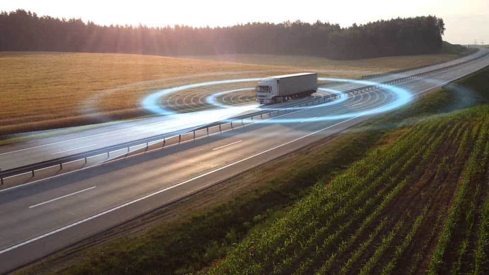
Autonomous Truck Using GPS
Final Words
So, what is the difference between GNSS and GPS? GPS is a singular system of PNT technology, while GNSS is a collection.
GNSS has more capabilities and greater coverage than GPS. However, we use both for similar purposes and applications.
Nevertheless, we hope that you’ve found the above guide to be helpful. As always, thank you for reading.